Site Plan Illustration & Map Overlays
We transform CAD site plans into professionally rendered, full-color illustrations that help tenants and buyers grasp your property at a glance.
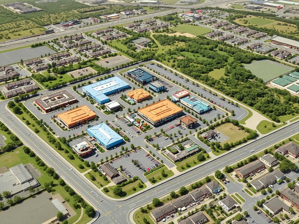
Our team converts CAD drawings into rendered site plans showing building footprints, parking, landscaping, and access points. Combined with custom map overlays highlighting surrounding infrastructure and demographics, these visuals help prospects quickly understand the layout and appeal of your commercial space.
What you get
CAD-to-Color
Professional renderings of your site plans, ready for marketing use.
Map Overlays
Aerial maps with traffic counts, demographics, and points of interest.
Multi-Format
Delivered in print, web, and presentation-ready formats.
Common questions
Explore other CRE marketing services

Digital Strategy
We craft comprehensive digital strategies tailored for the commercial real estate sector — built around your asset, your market, and the people you need to reach.

Social Media
In commercial real estate, social media is no longer optional — it's a vital channel for visibility, credibility, and qualified lead flow.

SEO
Our SEO services boost the online visibility of your properties and capture demand from active tenants and buyers — without paying portal fees forever.
Ready to talk site plan illustration?
No sales pitch — just a strategy call with a CRE marketing specialist.